

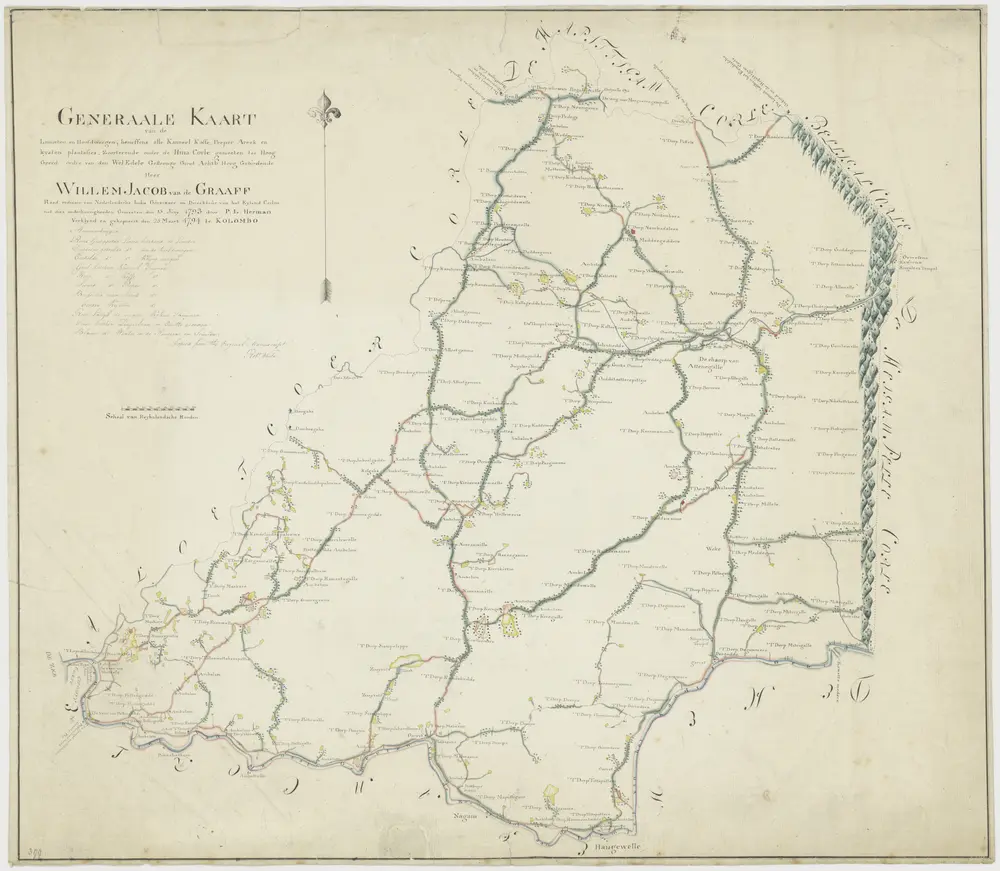
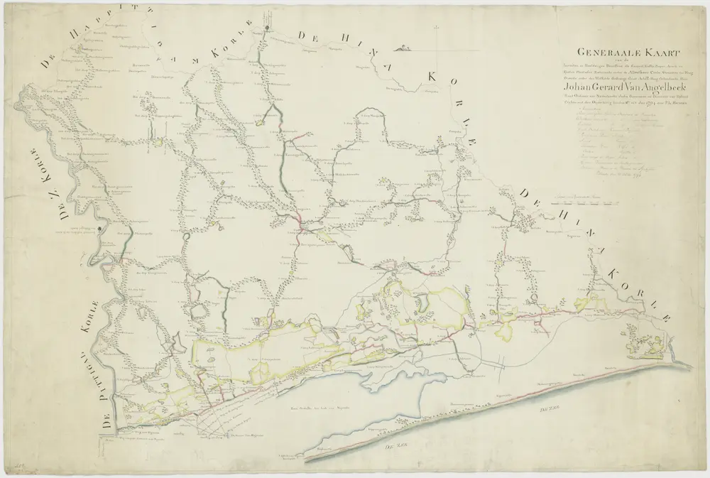
Kaart van de plantages in het district Hina Corle
1794
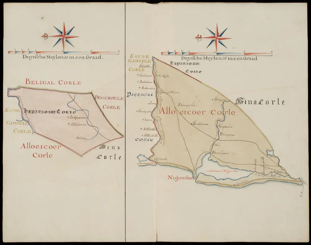
Kaart van Alloetkoer Corle
1794
Kaartboek van Ceylon
1753
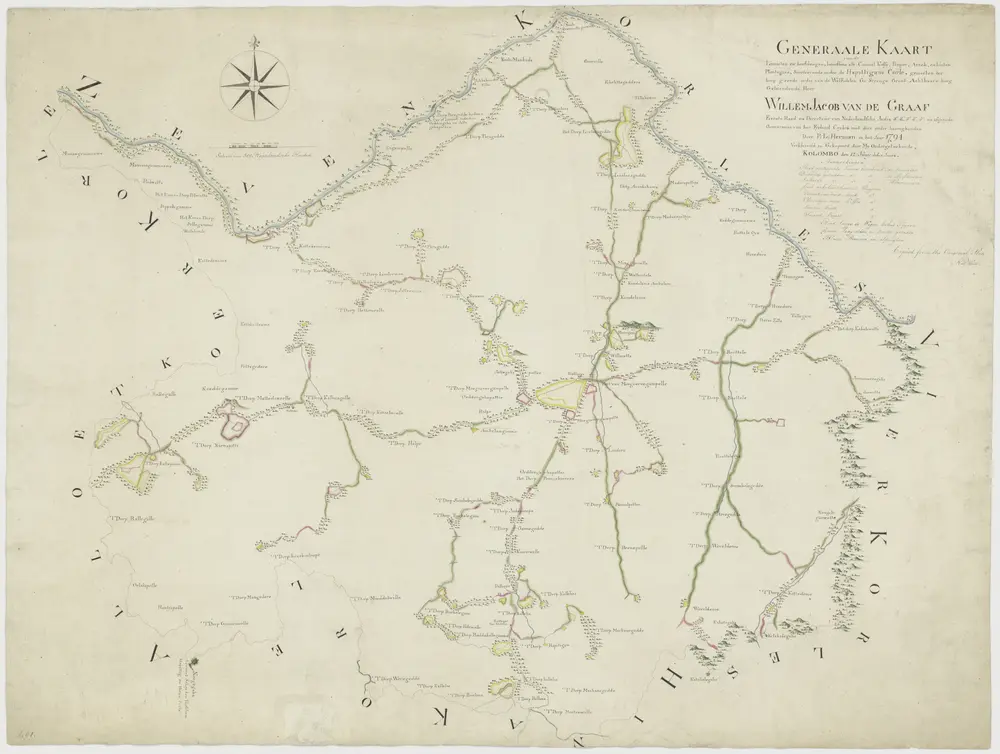
Kaart van plantages in de omgeving van Negombo
1794
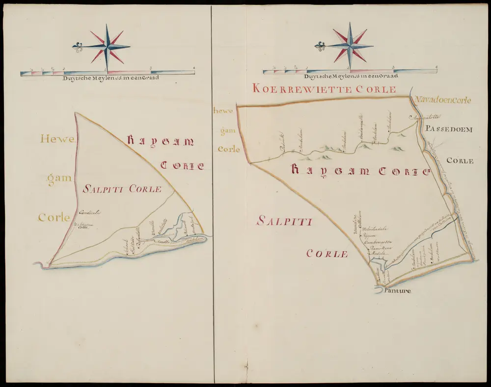
Kaartboek van Ceylon
1753
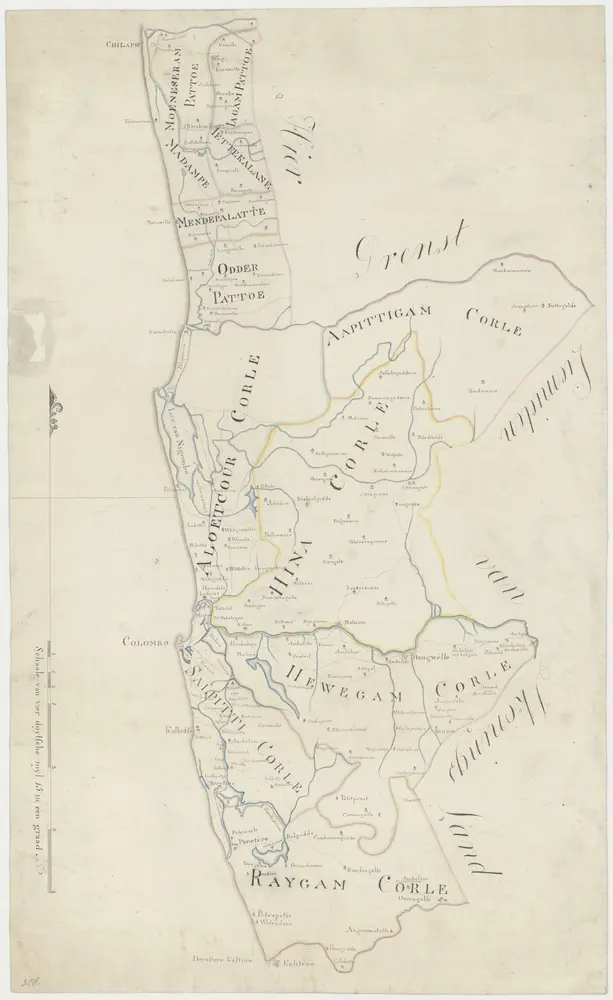
Kaart van de zuidwest kust van Ceilon
1800
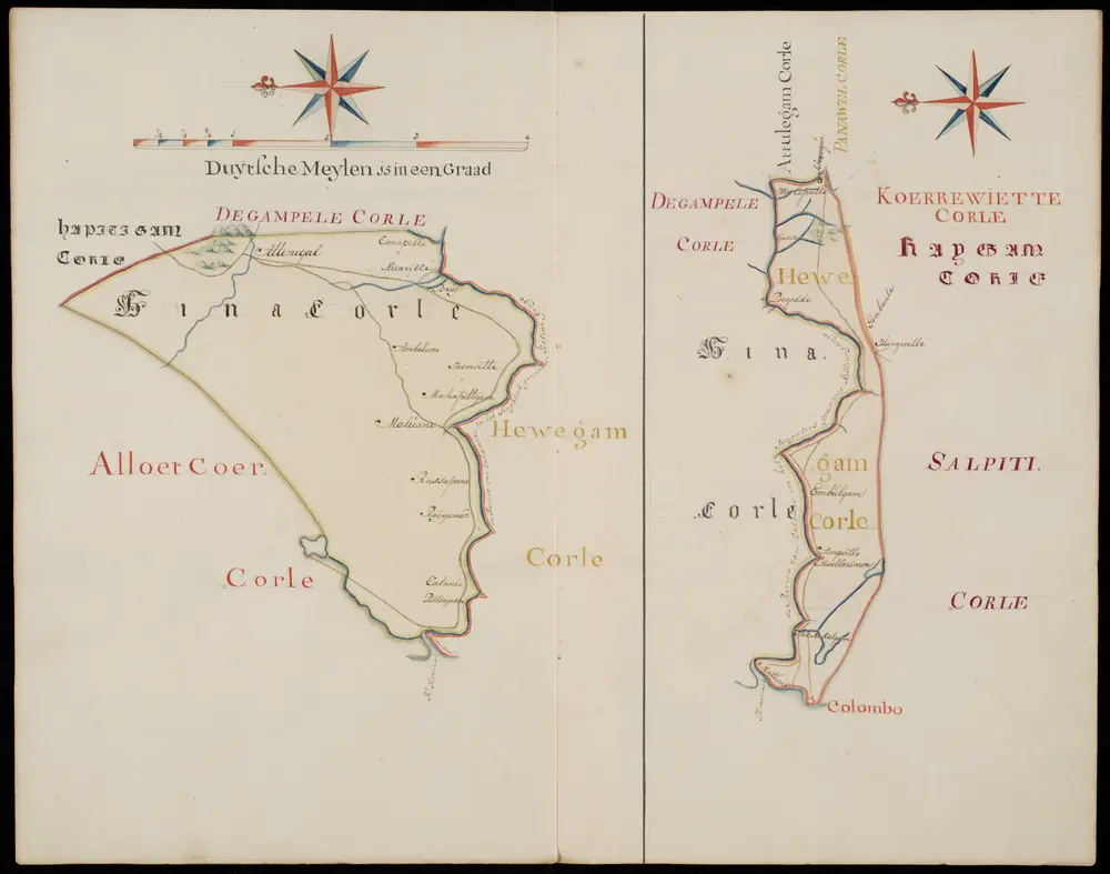
Kaartboek van Ceylon
1753
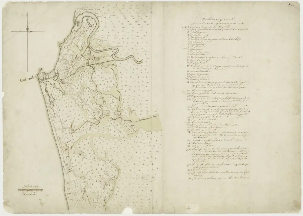
Kaart van het kasteel, de stad en omstreken van Colombo
1700
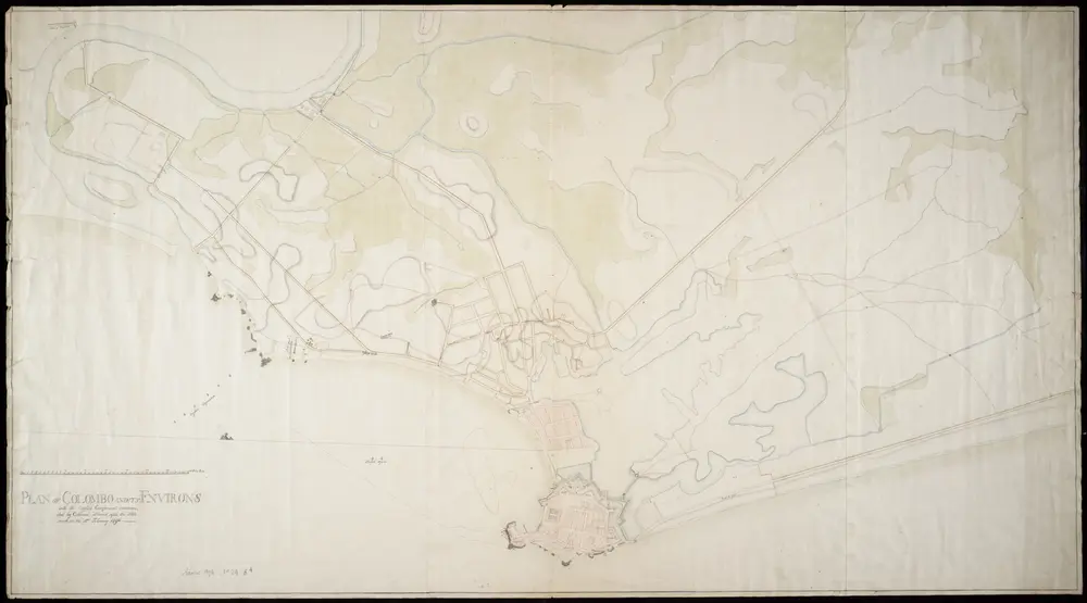
Plan of Colombo and its environs with the English campement commanded bij collonel Stuard after the skirmish on the 12the February 1796
1796
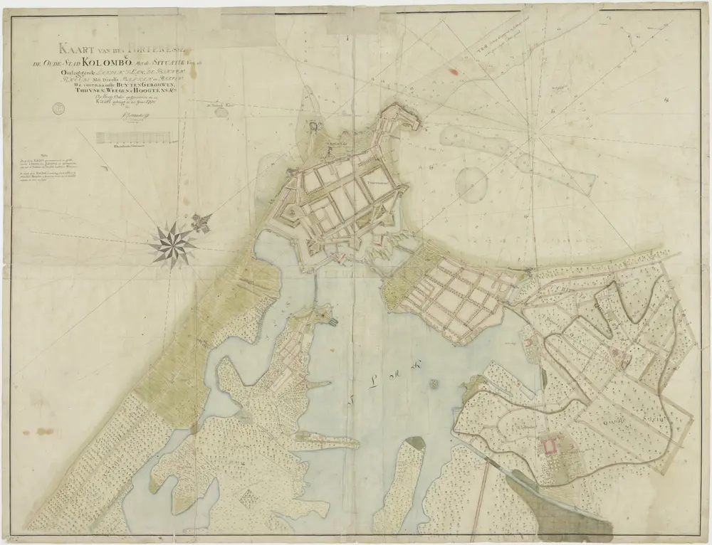
Kaart van het fort en de oude stad Colombo
1785
P. Foenander

